Technical and applied geology practice

Reading what
the ground
does not reveal.

Applied geology and geophysics turn subsurface uncertainty into measurable, practical technical knowledge.

Services and consulting

One discipline.
Multiple scales.

Geology defines the context. Geophysics measures physical contrasts. Interpretation integrates the results into a coherent model built around the engineering question.

01

Applied geology

Geological consulting for civil and building works: from the site geological model and investigation planning to technical support during design and construction.

  • 01Geological reports for civil works
  • 02Geological studies for foundations and excavations
  • 03DPSH dynamic penetration testing
  • 04Characterisation of excavated soil and rock
  • 05On-site geological assistance
02

Hydrogeology

Assessment of groundwater and its interaction with soils, excavations and structures, supporting informed and technically sound design decisions.

  • 01Hydrogeological studies and reports
  • 02Groundwater–structure interaction
  • 03Soil permeability testing
  • 04Groundwater resource assessment
  • 05Drainage and infiltration support
03

Applied geophysics

Non-invasive surveys to reconstruct geometry, discontinuities and physical contrasts in soil and structures, with specialist acquisition, processing and interpretation.

  • 01Ground Penetrating Radar surveys
  • 02Seismic surveys
  • 03Electrical Resistivity Tomography
  • 04Electromagnetic surveys
  • 05Magnetometric surveys
04

Territorial planning

Geological studies and specialist mapping for urban planning, hazard assessment and responsible territorial management.

  • 01Geological studies for urban plans
  • 02Seismic microzonation
  • 03Geological and geomorphological mapping
  • 04Geological compatibility studies
  • 05Territorial hazard assessment
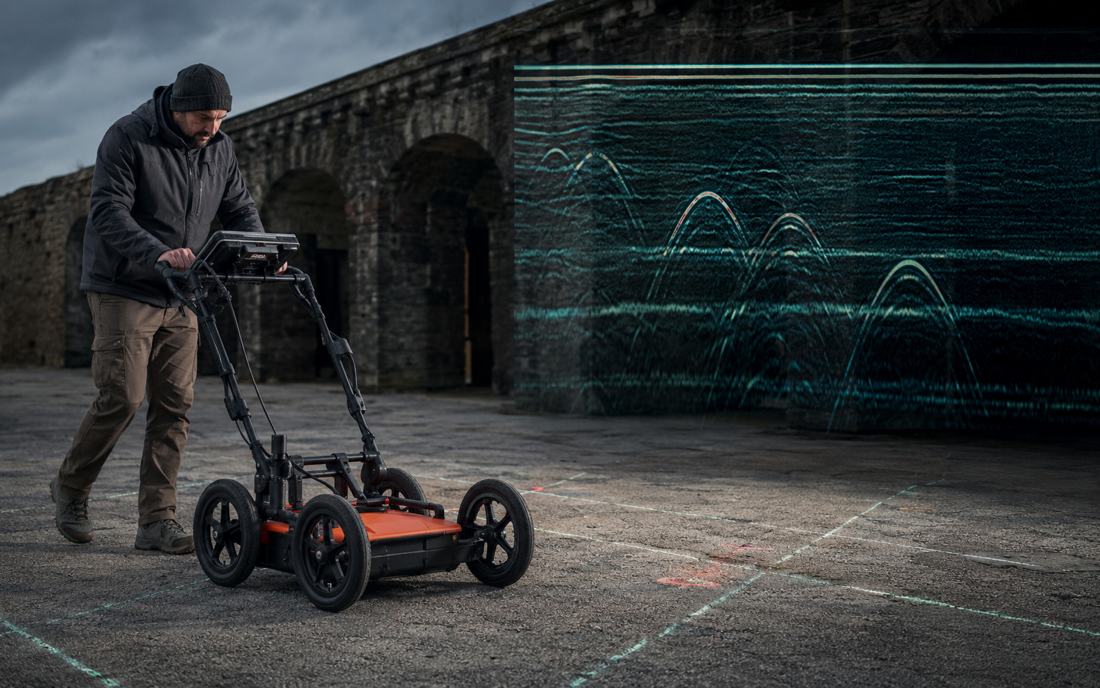
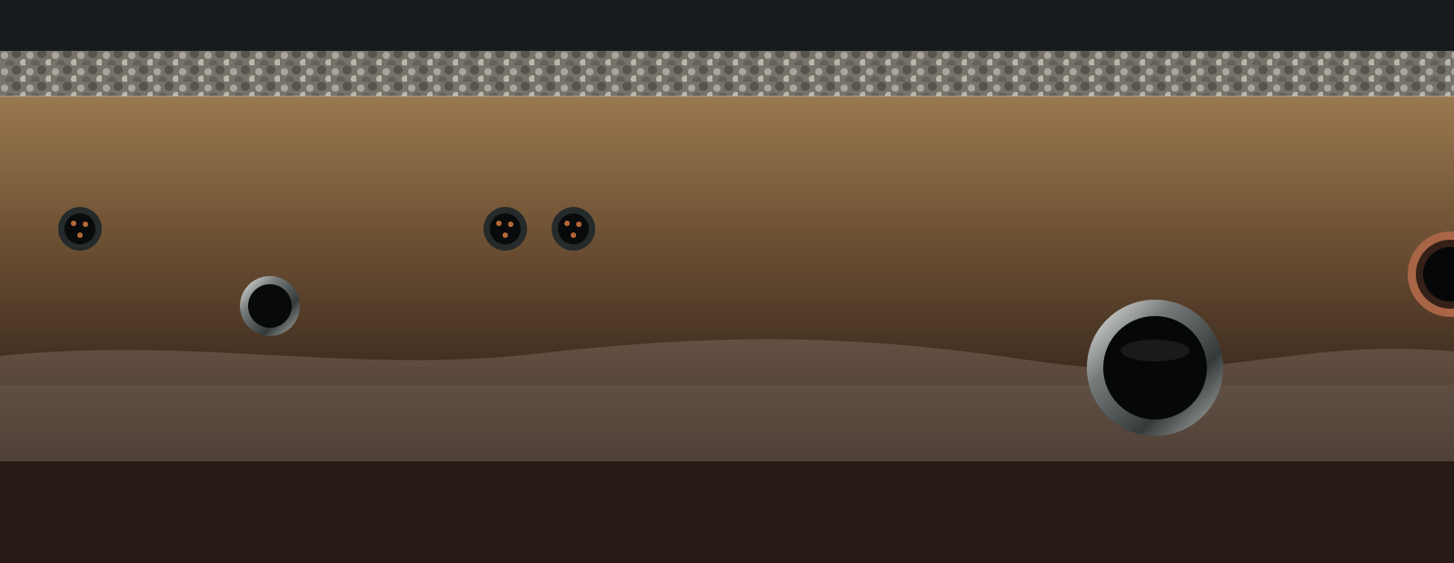
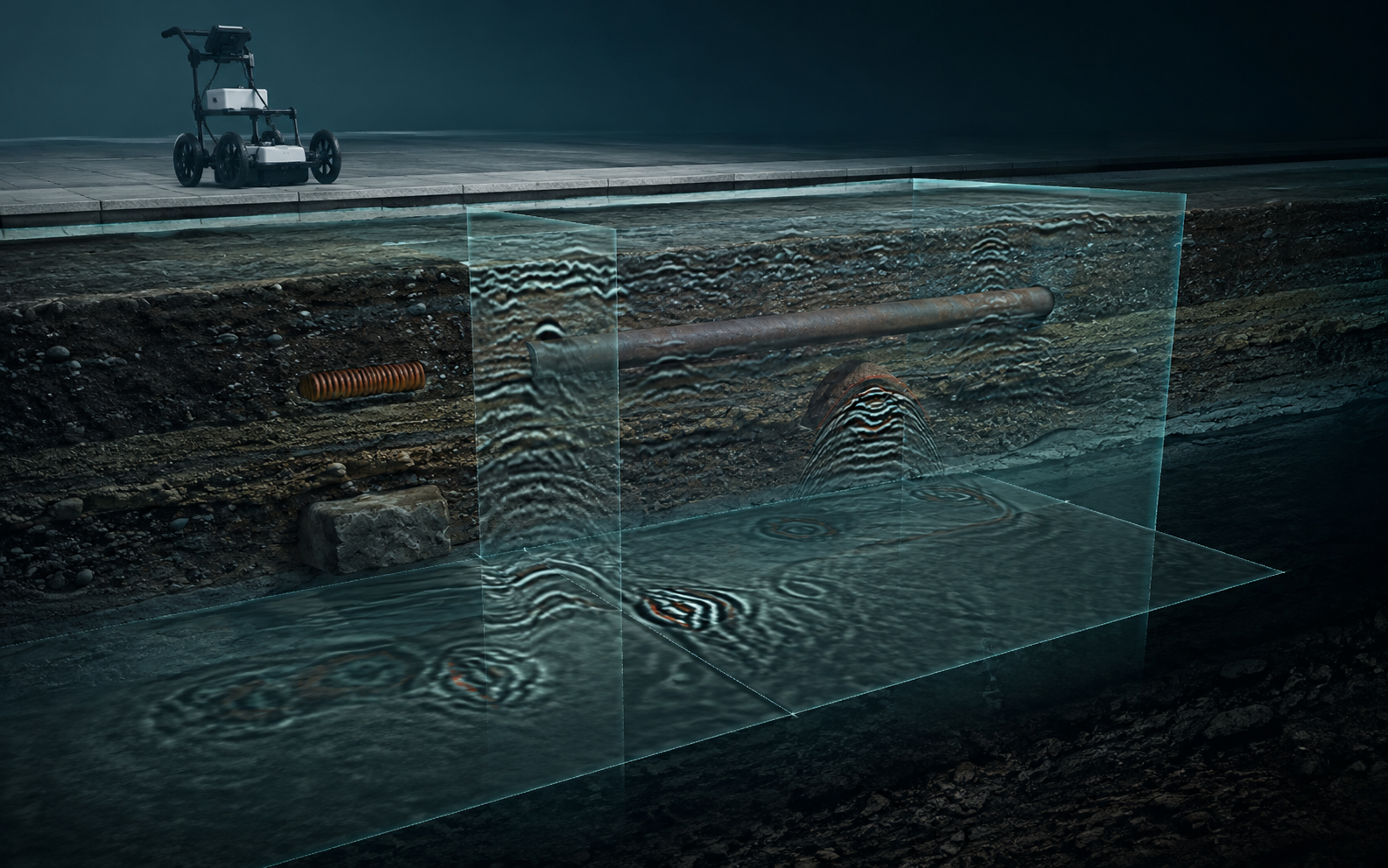
GPR subsurface visualisation with radargrams, anomalies and buried utilities
GPR / VOLUME DATA / XYZ2D PROFILES · TIME SLICE · INTERPRETATIVE MODEL

Operational focus

GPR: the method
becomes vision.

Ground Penetrating Radar is a non-invasive electromagnetic geophysical method. Frequency selection, acquisition geometry and processing transform individual radargrams into plan and three-dimensional target models.

UtilitiesConcreteArchaeologyVoids and discontinuitiesTunnels

From fieldwork to the digital model

We do not deliver
just lines.
We build evidence.

Follow the complete data workflow: survey grid and live radargrams, processing, plan mapping of targets and three-dimensional interpretation.

Inside the data

From radar response to the subsurface.

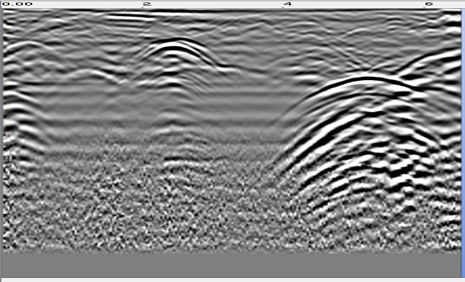
Move the pointer over the radargram. The road section appears below and is revealed from left to right as you explore the profile.

Raw GPR profileRAW RADARGRAM · MOVE THE POINTER

Selected projects

Field data.
Evidence delivered.

From georeferenced utility plans to tunnel diagnostics: real field imagery, technical data and operational deliverables present each assignment from the initial problem to the final outcome.

01
Portfolio / 01

Utilities and networks

Georeferenced mapping of subsurface interference

Survey plans
02
Portfolio / 02

Structures and infrastructure

Radar diagnostics on concrete, tunnels and pavements

Tunnel surveys
03
Portfolio / 03

Preventive archaeology

Extensive geophysical surveys and interpretative reconstruction

Time slices and identified room
04
Portfolio / 04

Geological reports and field testing

Geological models, boreholes, penetration tests, seismic surveys and on-site support

Boreholes · DPSH · HVSR · MASW
05
Portfolio / 05

Soil, rock, water and environmental characterisation

Sampling, analysis and environmental characterisation plans supporting site management

Soil · water · environmental analysis

Experience and references

Italy as a
field of work.

26Local authorities
6Railway stations
4Airport sites
FIELD EXPERIENCEOver 100 operational macro-areas
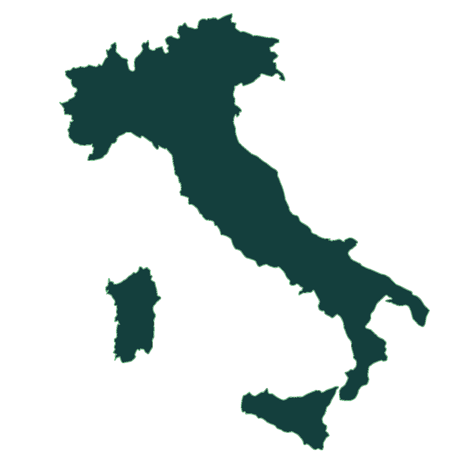
Sagoma cartografica dell’Italia
SELECTED AREACaserta

01 / Local authorities

Comune di San Cipriano d’AversaComune di Casal di PrincipeComune di CasapesennaComune di PozzuoliComune di Giugliano in CampaniaComune di AversaComune di Villa di BrianoComune di Castel VolturnoComune di ComizianoComune di FrignanoComune di ViareggioComune di Trentola DucentaComune di SuccivoComune di Gricignano di AversaComune di San Felice a CancelloComune di Santa Maria la FossaComune di San MarcellinoComune di LuscianoComune di CasaluceComune di LenolaComune di CagliariComune di GaetaComune di CelloleComune di BoscorealeComune di Falciano del MassicoComune di Capiago Intimiano

02 / Strategic organisations

03 / Airports

04 / Rail infrastructure

05 / Archaeology, heritage and major sites

06 / Defence and institutional sites

07 / Healthcare facilities

08 / Universities and research

Facoltà di Ingegneria · Università degli Studi di Napoli Federico II

Principal authorities, organisations and infrastructure where professional activities have been carried out, either directly or as part of specialist assignments and contracts.

The professional

Dr Geol.
Ottavio Corolli

An approach combining geological knowledge, field experience and advanced analysis of geophysical data.

Independent geologist registered with the Regional Association of Geologists of Campania, Section A, no. 2669. Certified Level II GPR NDT operator according to UNI 11931:2024.

Registered geologistGPR NDT Level IIUNI 11931:2024

Technical equipment

Methods selected
around the question.

Select an instrument to open its official brochure or technical sheet.

Preliminary technical assessment

Let’s define the right survey before entering the field.

Share the location, objective and available documentation. You will receive an initial assessment of the most suitable methodology and deliverables.

Plans, PDF, DWG, KMZ and photographs can be attached by email or sent via WhatsApp.

Practice and contact

Let us discuss
your project.

Send a brief description of the site, structure and objective. The first step is identifying the investigation method that can produce genuinely useful evidence.

Telephone+39 334 1942675Emailottaviocorolli@gmail.comCertified emailgeologocorolli@pec.it
PracticeVia Rimini 14 · 81036
San Cipriano d’Aversa (CE), Italy